Blog4 Min Read CelineonNovember 13, 20260 A Global Rebound for Mangroves Scientists began using satellites to map mangrove forests in the 1970s after the launch of the first Landsat satellite. For decades, the story they told…
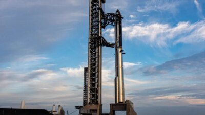
1 Min Read CelineonNovember 13, 20260 Starship Flight 15 to attempt first catch of both stages …Space
4 Min Read CelineonNovember 13, 20260 AST SpaceMobile presses case for developing own launch vehicle WASHINGTON — AST SpaceMobile executives expressed confidence in the…Blog
3 Min Read CelineonNovember 12, 20260 UARX Space Marks a Milestone for Spain’s Space Industry with the Maiden Flight of OSSIE-D, Featuring a Complete Power Subsystem Supplied by DHV Technology Nigrán, Spain | November 12 2026 – UARX Space has achieved a major…Blog
Blog1 Min Read CelineonNovember 12, 2026What role does industry play in Europe’s space sovereignty push? In this episode, SpaceNews’ Jason Rainbow interviews Atle Woello, the CEO and senior vice president of the space systems and surveillance… Discover More
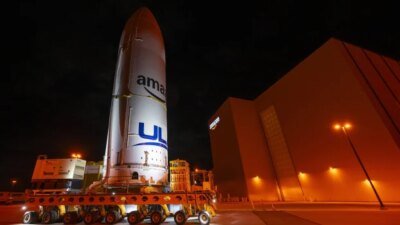
Space1 Min Read CelineonNovember 12, 2026ULA’s Vulcan set to return to flight with first Amazon Leo payload ULA’s… Discover More
Blog4 Min Read CelineonNovember 12, 2026Physicists propose new quantum device to measure how Ea… Follow us Add us as a preferred source on Google Newsletter Subscribe to our newsletter Scientists have proposed a new tabletop device to… Discover More
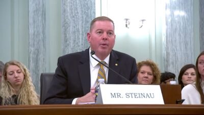
Blog2 Min Read CelineonNovember 12, 2026Senate committee takes up nominees for NASA chief financial officer and inspector general WASHINGTON — A Senate committee is set to advance nominations for NASA’s chief financial officer and inspector general. The Senate Commerce… Discover More
Blog2 Min Read CelineonNovember 11, 2026Moog Marks 25 Years Since ESPA Design Milestone: Innovating Space Rideshare East Aurora, N.Y. — Moog Inc. (NYSE: MOG.A and MOG.B) marks 25 years since the Evolved Secondary Payload Adapter (ESPA) ring completed its… Discover More
Blog3 Min Read CelineonNovember 11, 2026Horizon Microtechnologies Targets Constellation-Scale Production As Esa Phi-Lab Selection Strengthens Industrialisation Push (Karlsruhe, Germany, September 29th 2026) Horizon Microtechnologies is accelerating industrialisation of its metallised polymer micro-additive… Discover More
Blog3 Min Read CelineonNovember 11, 2026Water Surges Into Navajo Reservoir Back-to-back extreme rain events inundated the Four Corners region of the U.S. Southwest in late October and early November 2026. The storms… Discover More
Space1 Min Read CelineonNovember 11, 2026Isaacman lays out SLS path to the 2030s Isaacman lays… Discover More
Blog3 Min Read CelineonNovember 10, 2026Kratos and Seagate Space Partner to Advance Mobile Offshore Launch Capabilities for National Security Missions SAN DIEGO, CA, November 10, 2026 – Kratos Defense & Security Solutions, Inc., a technology company in defense, national security, and… Discover More
Blog2 Min Read CelineonNovember 10, 2026Autumn Mornings Bring Valley Fog On a cool November morning, low clouds traced the branching valleys of the Appalachian Plateau and the Cumberland River. By afternoon, they… Discover More